PuzzleFree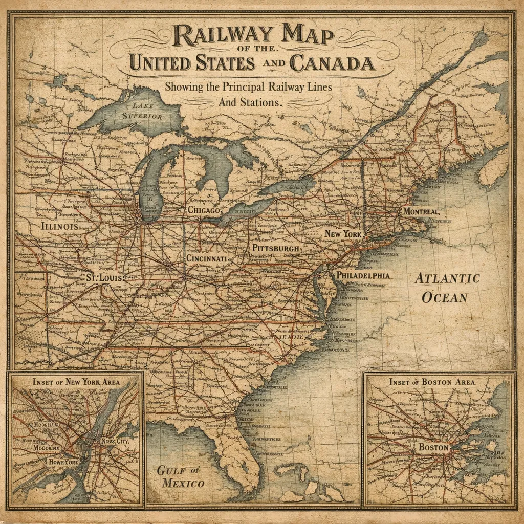
Railway Map of the United States and Canada (19th-Century Style)
Rate this puzzle
This online jigsaw puzzle features a beautifully aged railway map of the United States and Canada, perfect for lovers of maps, history, and transportation-themed images. Playable right in your browser, it highlights principal railway lines and major cities rendered in a vintage cartographic style. Enjoy assembling a puzzle depicting detailed coastlines, lakes, and a web of red rail routes set against warm sepia tones, faded paper textures, and fine hand-lettered place names. The image feels nostalgic and scholarly, with gentle contrast between inked lines and soft blues for water, creating a calm, inviting atmosphere — a satisfying way to slow down and enjoy the quiet pleasure of putting the pieces together.
Choose difficulty: